In 2021, the League of American Bicyclists awarded the City of Rock Hill the Bronze level for being a bicycle-friendly community.
Looking to learn? Visit BikeRockHill.com for bike training and programming, along with community outreach.
Enjoy York County’s scenic byways and diverse terrain from the seat of your bicycle!
*Please wear a helmet While cycling in York County and follow all SC Cycling Laws.
Rock Hill Outdoor Center
The Rock Hill Outdoor Center's cycling venues offer Olympic-caliber facilities for use by beginner and elite athletes alike.
Cycling amenities include:
Rock Hill Velodrome / Rock Hill BMX Supercross Track / Mountain Biking Trails
Criterium Course / Cyclocross Course
Mountain & Off-Road Bikes
Walt Schrader Trails at Historic Brattonsville
Address: 1444 Brattonsville Road, McConnells, SC 29726
Distance: 7 Miles Total | Network of Trails
Difficulty: For Beginner Cyclists
Rock Hill Outdoor Center
Address: Herrons Ferry Road, Rock Hill, SC 29730
Distance: 7 Miles Total | 3 Trails
Difficulty: 3 Levels of Varying Terrain
Anne Springs Close Greenway
Address: 971 Tom Hall Street, Fort Mill, SC 29716
Distance: 8.6 Miles Total | 3 Trails
Difficulty: For Intermediate to Advanced Cyclists
Worth Mountain Wildlife Management Area
Address: SC Hwy 211, Hickory Grove, SC 29717
Distance: 1.5 Miles Total | Network of Trails & Roads
Difficulty: For Beginner Cyclists
Baxter Village Trails
Address: 1712 1st Baxter Crossing, Fort Mill.
Distance: 9 Miles Total | Network of Trails & Roads
Difficulty: 3 Levels of Varying Terrain
YORK COUNTY ROUTES
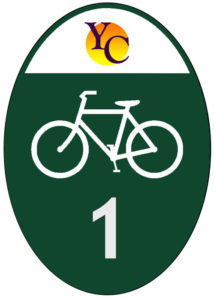
Central York County Route 1
Suggested Starting Point:
McCelvey Center – 212 East Jefferson Street, York, SC 29745
Distance: 50 Mile Loop
Difficulty: Moderately Strenuous, +1336 ft Elevation Gain
Along the Way:
- McCelvey Center & The Historical Center of York County
- The Peach Tree Orchard
- Bush-N-Vine
- Sylvia Theater
- Historic Downtown York
Map this Loop | View York County Map
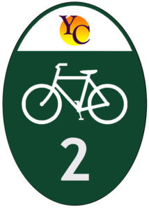
Reservation Route 2
Suggested Starting Point:
Rock Hill Municipal Parking Garage – 110 East Black Street, Rock Hill, SC 29730
Distance: 35.8 Miles Total (31.38 miles loop, 4.4 mile cut through)
Difficulty: Moderately Strenuous, +1145 ft Elevation Gain
Along the Way:
- Catawba Cultural Center & Craft Store
- Old Town Rock Hill
- The White Home
- Fountain Park
- Swim, Bike & Run
Map this Loop | View York County Map
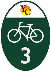
Kings Mountain Route 3
Suggested Starting Point:
Clover High School – 1625 State Highway 55, Clover, SC 29710
Distance: 38 Miles Total (26.63 bike loop with 11.37 mile out and back)
Difficulty: Moderately Strenuous, +573 ft Elevation Gain
Along the Way:
- New Centre Park
- Downtown Clover
- McGill’s Store
- Kings Mountain State & National Military Parks
- Historic Downtown York
- McCelvey Center & The Historical Center of York County
Map this Loop | View York County Map
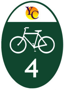
Fort Mill/Tega Cay Route 4
Suggested Starting Point:
Baxter Library – 1818 2nd Baxter Crossing, Fort Mill, SC 29708
Distance: 32 Miles Total (23.8 loop with 3.4 and 5.3 mile optional cut through)
Difficulty: Moderately Strenuous, +732 ft Elevation Gain
Along the Way:
- Baxter Village
- Catawba Park (future home)
- Lake Wylie
- Anne Springs Close Greenway
- The Peach Stand
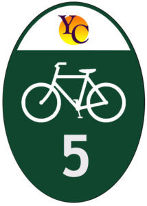
Nimitz Route 5
Suggested Starting Point:
McCelvey Center – 212 East Jefferson Street, York, 29745
Distance: 22.25 Miles (out and back)
Difficulty: Moderately Strenuous, +825 ft Elevation Gain
Along the Way:
- C & M Convenience Store
- Historic Hill Mercentile
- McCelvey Center
- Downtown York
- Downtown Sharon
Map this Route | View York County Map